Met Office issues thunderstorm warning with ‘flash flood’ risk despite heatwave Across UK

Web Desk
20 June, 2025 15:36
Thunderstorms are forecast across the UK tomorrow
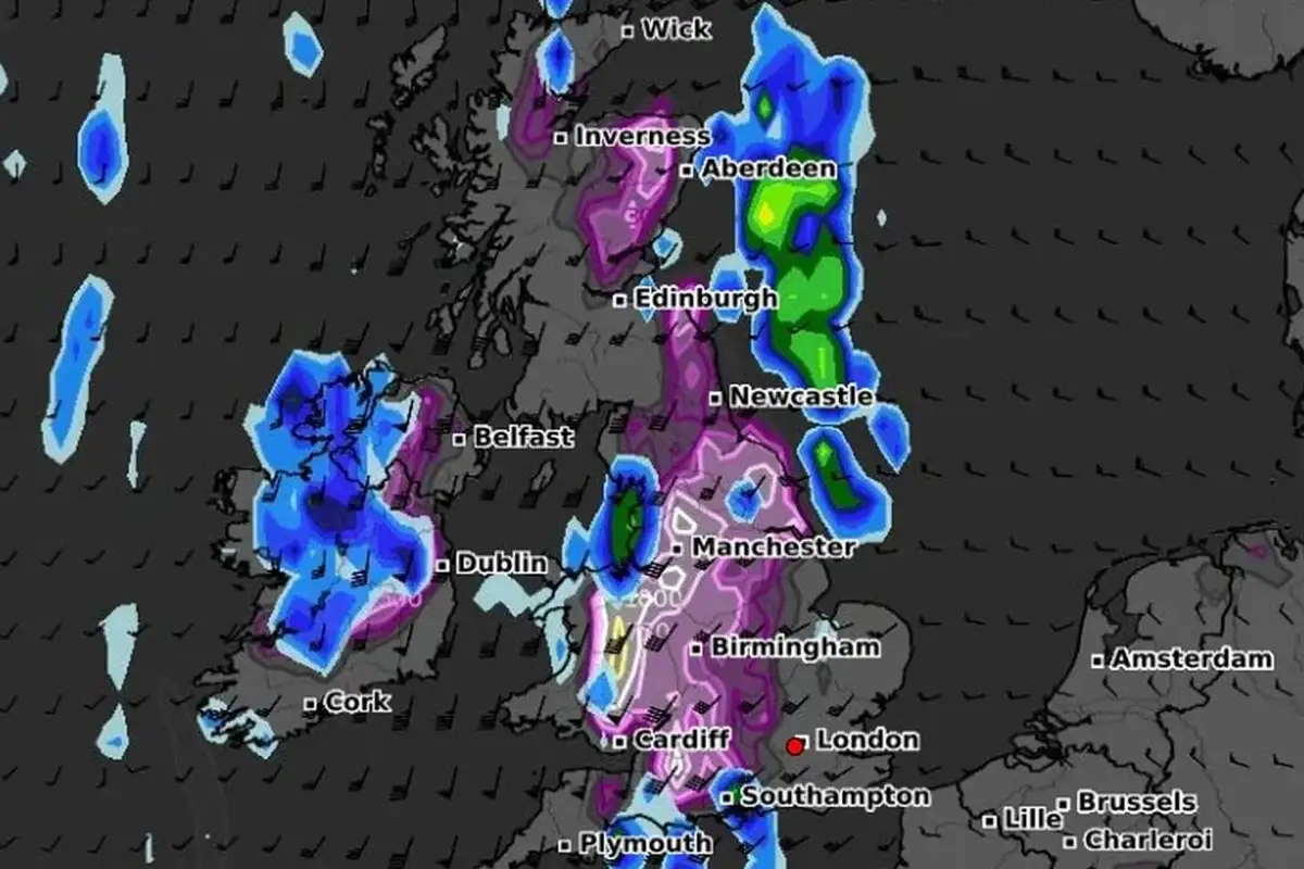
The Met Office has issued a yellow weather warning for Saturday afternoon and night, as scattered thunderstorms are expected to break the ongoing heatwave in several parts of the UK.
The warning is in effect from 3pm on Saturday until 4am Sunday morning for the East Midlands, North East England, North West England, Wales, West Midlands, and Yorkshire & Humber.
While many areas will stay dry, thunderstorms could bring heavy rain, large hail, frequent lightning, and strong winds. This sudden weather change may cause flash flooding, making some roads difficult or impossible to use. Some communities might become isolated due to road closures.
Power outages are also possible during the storms, which could disrupt electricity supplies to homes and businesses. Public transport such as buses and trains may face cancellations or delays in the affected regions.
The Met Office advised people to prepare a flood plan if they live in areas prone to flooding and to secure loose outdoor items like garden furniture, bins, and tents before the wind picks up.
Travelers are urged to check road conditions and public transport schedules to avoid delays. It is also recommended to gather essentials like torches, batteries, and mobile phone chargers in case of power cuts.
For safety, anyone caught outside during thunder should seek shelter in a safe, enclosed place such as a car and avoid standing near trees or tall structures. If on high ground, move to lower areas.
Temperatures this weekend are expected to reach up to 33°C in southern parts of the UK, making the thunderstorms a brief but intense interruption to the heatwave.
Catch all the Trending News, Breaking News Event and Trending News Updates on GTV News
Join Our Whatsapp Channel GTV Whatsapp Official Channel to get the Daily News Update & Follow us on Google News.
Must Read