Pakistan launches first Hyperspectral Satellite HS-1 from China

Pakistan Reaches Major Milestone with Launch of First Hyperspectral Satellite: How HS-1 Will Benefit Nation?
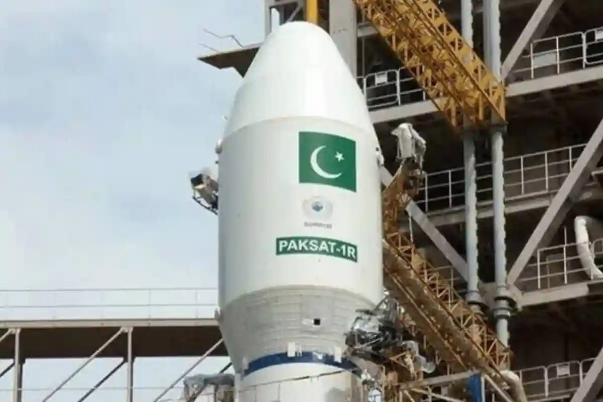
In a historic breakthrough for its national space programme, Pakistan has successfully launched its first Hyperspectral Satellite (HS-1) into orbit. The launch took place on October 19 from China’s Jiuquan Satellite Launch Centre (JSLC), marking a significant advancement in the country’s scientific and remote sensing capabilities.
According to the report, HS-1 represents a major milestone under Pakistan’s National Space Policy and Vision 2047. Developed by the Space and Upper Atmosphere Research Commission (SUPARCO), the mission is set to revolutionize environmental monitoring, disaster management, agricultural productivity, and urban development through advanced space technology.
Simultaneous launch ceremonies were held at SUPARCO headquarters in Karachi and Islamabad. Addressing the event, SUPARCO Secretary Brigadier Aftab described the occasion as a “historic day” for Pakistan. “This satellite is a major step for Pakistan into the space world,” he said, highlighting its impact across multiple sectors.
Explaining the technology, Brigadier Aftab said that hyperspectral imaging identifies the material composition of objects by analyzing how they reflect light at various wavelengths. “This satellite will help us understand what things are made of,” he noted. “It will assist us in agriculture, provide real-time flood alerts, and support efforts to prevent deforestation and promote environmental sustainability.”
SUPARCO officials stated that HS-1 will significantly enhance early warning systems for natural disasters such as floods, earthquakes, and landslides—especially in high-risk regions like the Karakoram Highway and northern Pakistan. The satellite will also aid in geo-hazard monitoring, post-disaster response, transportation analysis, and water resource management.
For the agriculture sector, HS-1 introduces advanced precision farming capabilities. The satellite’s high-resolution hyperspectral imagery will allow researchers to monitor crop health, soil moisture, and irrigation efficiency, potentially increasing yield estimates by 15 to 20 percent and strengthening national food security.
In urban development, HS-1 will provide real-time mapping of infrastructure, land use, and environmental changes. Its advanced sensors can capture the spectral signatures of man-made structures, assisting in sustainable city planning, land optimization, and better resource allocation.
HS-1 is Pakistan’s third satellite launched into space, following PRSS-1 in July 2018. Two more launches—EO-1 in January 2025 and KS-1 in July 2025—are planned. The addition of HS-1 to Pakistan’s growing remote sensing fleet demonstrates the country’s commitment to strengthening its space-based infrastructure in support of environmental resilience, economic progress, and national security.
SUPARCO described the HS-1 launch as “a transformative milestone in Pakistan’s national space programme,” affirming that the country has entered a new phase of advanced, strategic space applications aligned with its long-term development goals.
Read More: Pakistan and Afghanistan Agree to Ceasefire Following Talks Held in Doha
Catch all the Pakistan News, Breaking News Event and Trending News Updates on GTV News
Join Our Whatsapp Channel GTV Whatsapp Official Channel to get the Daily News Update & Follow us on Google News.
Must Read