Satellite Images Reveal Damage to Israeli Military Bases From Iran and Hezbollah Strikes

Satellite Images Reveal Damage to Israeli Military Bases From Iran and Hezbollah Strikes
Newly analyzed satellite imagery has revealed reported damage to multiple Israeli military installations following Iran and Hezbollah defensive operations, raising questions about the extent of destruction that may not be fully disclosed by Israeli authorities.
According to analysis published by Soar, satellite images show strikes on several military bases during Iran’s recent defensive campaign, known as Operation True Promise 4, which was launched in response to US-Israeli aggression beginning on February 28.
The report claims the initial escalation involved airstrikes targeting senior Iranian officials, including Leader of the Islamic Revolution Ayatollah Seyyed Ali Khamenei, as well as civilian infrastructure. Iran subsequently responded with missile and drone strikes against US and Israeli military assets across the region.
A report by Yedioth Ahronoth, released with military censorship approval, used lower-quality imagery, which analysts say raises further concerns about transparency regarding the actual scale of damage.
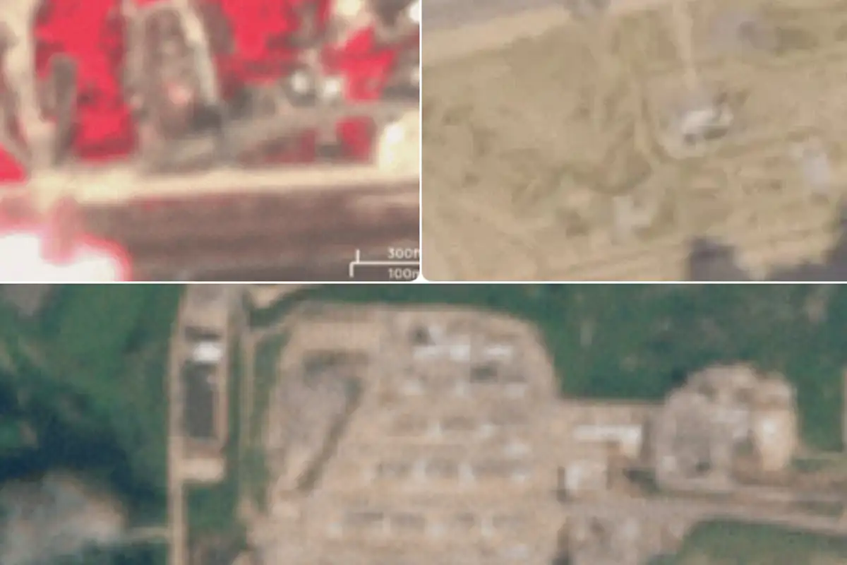
Satellite images from Sentinel-2 reportedly show that Ramat David Air Base was struck in two separate locations, including areas used for logistical support vehicles and refueling operations for fighter jets.
Additional imagery indicates possible damage near a structure inside the Mishar base, a Unit 8200 intelligence facility near Safed, with analysis suggesting a strike occurred between March 5 and March 10.
Further images show visible damage at Nevatim Air Base, identified as another key target during Iran’s retaliatory operations.
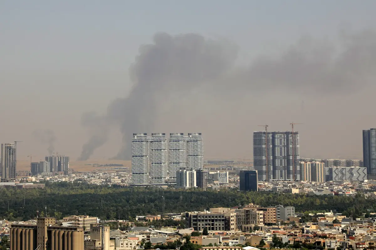
Satellite data also indicates a major fire at Camp Shimshon, which began on March 10—the same day Hezbollah reportedly launched a drone swarm attack on the site. The fire is said to have burned for several days, spreading across approximately 200 meters within the base.
Comparisons with historical satellite imagery from 2016, 2024, and 2025 suggest the affected area had been actively used for military logistics and operations. Analysts noted the lack of vegetation, stating: “indicating that the fire was caused by a strike on a significant area inside the base rather than by burning vegetation.”
The report suggests that restricted image quality released by Israeli military censors may indicate an attempt to limit public awareness of the full impact of the strikes.
According to Yedioth Ahronoth, Iran has launched approximately 670 missiles and 765 drones toward Israeli-occupied territories since the escalation began.
Meanwhile, tensions remain high as Israeli officials reportedly continue to push for renewed US military action against Iran, despite a ceasefire agreement that came into effect on April 8 through Pakistani mediation.
Catch all the World News, Breaking News Event and Trending News Updates on GTV News
Join Our Whatsapp Channel GTV Whatsapp Official Channel to get the Daily News Update & Follow us on Google News.